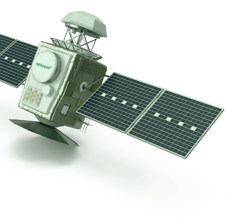
AFRICOM: THE DIGITAL REPRESENTATION OF AFRICA FROM SPACE
Why SPACE…?
Space offers the ability to scale to everyone, everywhere, all at once; bypassing borders, geography, and terrestrial limitations.
The africom team is unique in its ability to take advantage of formerly classified technologies and new capabilities in RAD-HARD electronics and sensors. These unique africom advantages dramatically lower the cost and increase the capabilities of what can be put into space…



UNIFIED SYSTEM – ULTRA-SECURE
Unbreakable security with Ultra-secure protocols, no ground support required
4 TERA-BIT/SECOND cross-global speed, Fastest laser cross- and down-links by 400x
DATA CENTERS in space: 90 petaops, 2.5 exabytes
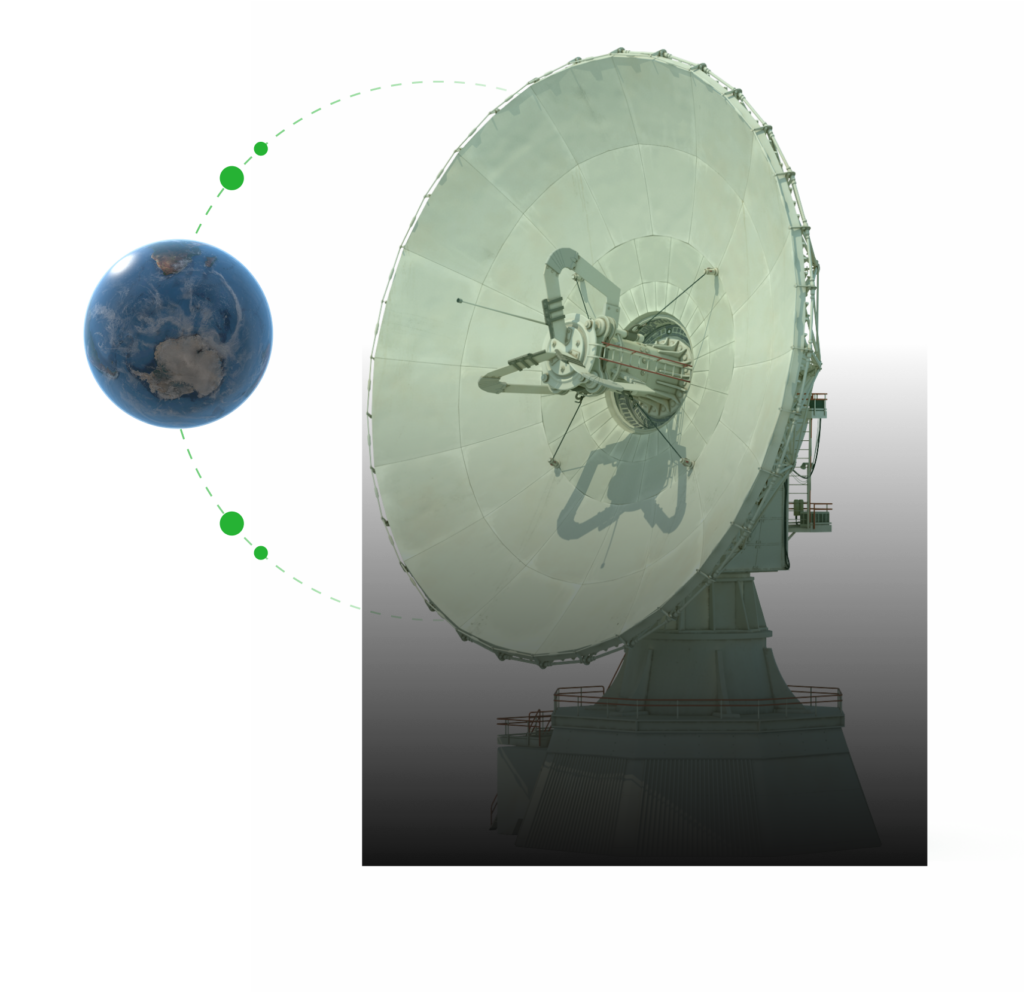
GAPLESS SENSING NETWORK (GSN)
Gapless, continuous, visible and wide-band IR video of the entire African continent.
Data streams into data centers within 3 seconds from satellite capture for processing with Africoms AI/PI physical industry algorithms in REAL-TIME.

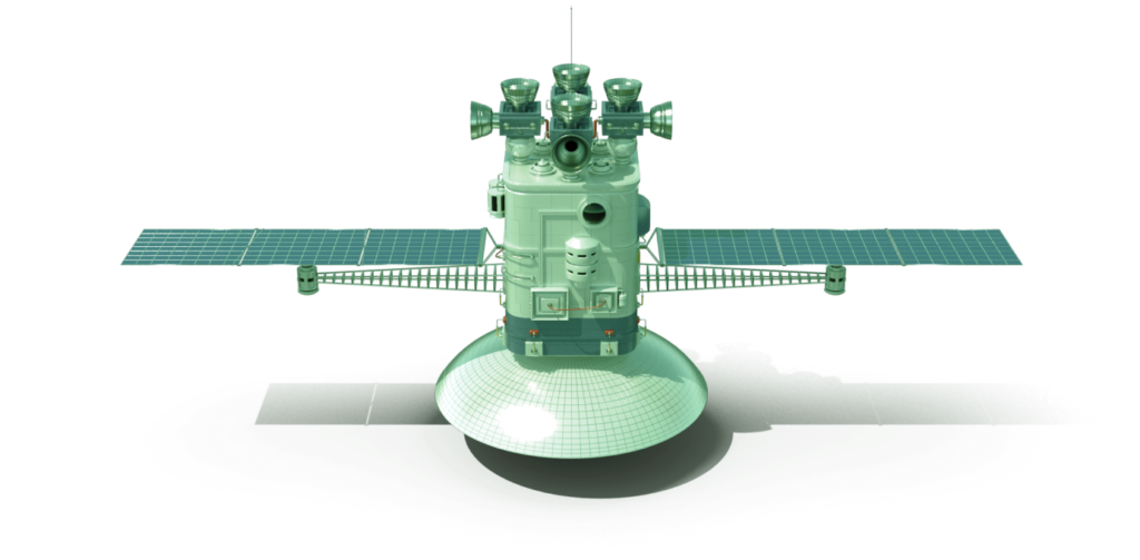

UNDERGROUND RESOURCE MAPPING
With GSN, the entire area of Africa’s crust will be mapped for the following major underground natural resources (initial list), with maps generally provided as probability grading on 10M surface grid.
✓CRUDE OIL ✓NATURAL GAS ✓COAL ✓WATER ✓GOLD ✓SILVER ✓PLATINUM ✓IRON ✓COBALT ✓RARE EARTHS (13) ✓URANIUM ✓LITHIUM ✓ALUMINUM ✓ZINC ✓COPPER ✓TIN ✓CEMENT ✓DIAMOND ✓RUBY/GEM ✓SAND ✓GRAVEL ✓HELIUM ✓CLAY ✓CHROMIUM ✓PHOSPHATE ✓CESIUM ✓MOLYBDENUM ✓GRAPHITE ✓DIATOMITE ✓GARNET ✓KYANITE ✓TITANIUM ✓TUNGSTEN ✓VANADIUM ✓GERMANIUM
